
IP Geolocation has four more columns on every range: an accuracy radius, the date the range's location last changed, the city's GeoNames id and, in the US, its media market. They're in the same CSV and MMDB, rebuilt daily.
Four more columns
| Column | What it holds |
|---|---|
accuracy_radius | The radius in kilometers around the coordinates that holds the true location with 67% confidence; 20000 for an anycast range, which answers from many places |
last_changed | The date the range's location (its country, region, city or coordinates) last changed |
geoname_id | The city's id in the GeoNames gazetteer |
dma_code | A US city's TV market (DMA, designated market area) as its 3-digit code: 501 is New York, 803 Los Angeles |
Five rows from the database's sample, by the first address of each range:
| Range start | City | accuracy_radius | last_changed | geoname_id | dma_code |
|---|---|---|---|---|---|
74.42.24.170 | Ashburn, US | 2000 | 2026-10-02 | 4744870 | 511 |
2600:141b:e800:30:: | Piscataway, US | 10 | 2026-10-01 | 5102713 | 501 |
206.172.98.37 | Toronto, CA | 10 | 2026-10-07 | 6167865 | |
129.148.12.0 | São Paulo, BR | 500 | 2026-10-01 | 3448439 | |
1.0.0.0 | Sydney, AU | 20000 | 2026-10-07 | 2147714 |
What the columns are for
accuracy_radius says how far to trust a row's city: a 10 km row can be acted on at the city, and a 2000 km one is closer to a country answer. 1.0.0.0 is anycast, answered from many places, so its radius covers the planet.
last_changed says which ranges moved since your last pull, so a system that keys anything on location reprocesses only the rows whose date is newer. The earliest date in the file, October 1, means on or before that day.
geoname_id joins a row to GeoNames' own records for the city, its population and its alternate names among them, and dma_code puts a US address in its media market, for ad targeting and reporting.
What's in it
The October 16 build holds 11,282,055 ranges in 58,230 cities, each with its GeoNames id. Every one of the 1,524,987,251 US IPv4 addresses carries a DMA code, across all 210 markets.
Getting access
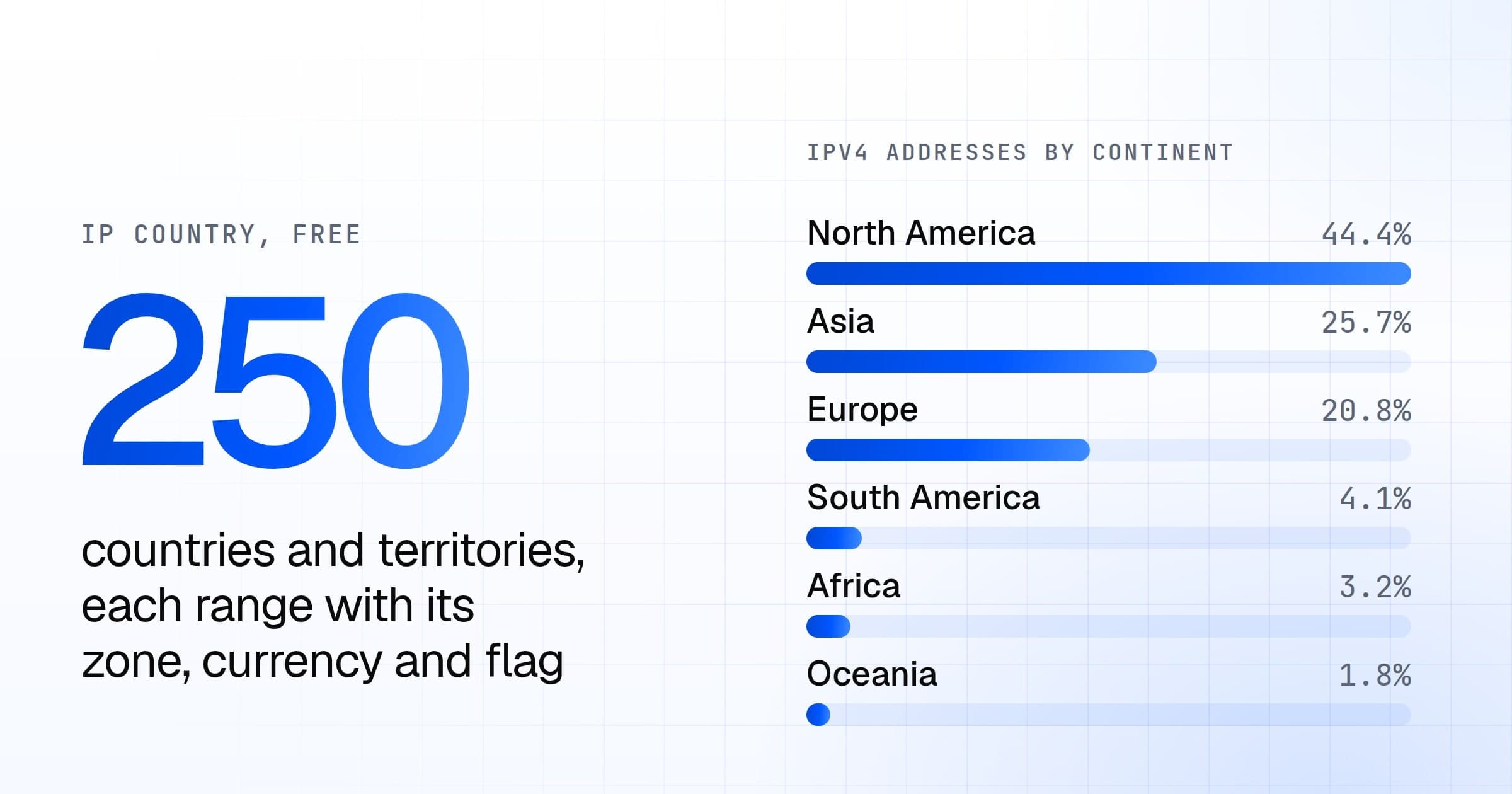
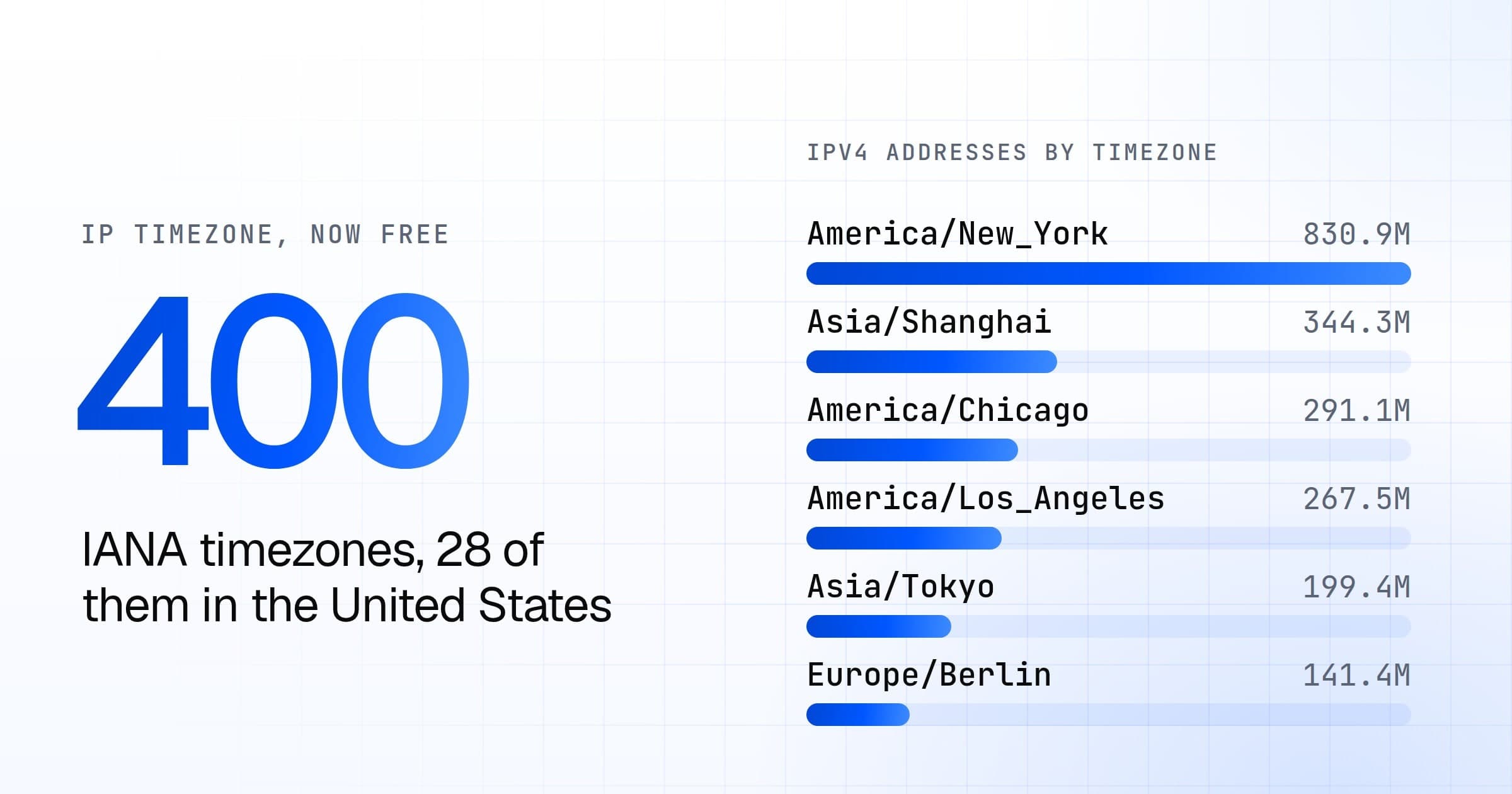
IP Geolocation ships as CSV and MMDB, rebuilt daily, and its docs page has the schema. Sign up to evaluate it from its sample. A license is per database and never metered: see licensing, or talk to us about what you need. With a license, it's in BigQuery too. A range's continent, country and timezone are free in IP Country.